 Southwest
Environmental LimitedSouthwest
Environmental Limited
Southwest
Environmental LimitedSouthwest
Environmental Limited| London |
| 02076 920 670 |
| Exeter |
| 01392 927 961 |
| Manchester |
| 01612 970 026 |
| Bristol |
| 01173 270 092 |
Below are some pictures of flood damage or tell tale signs of flooding that were viewed on site visits. Click on the images for a better view.
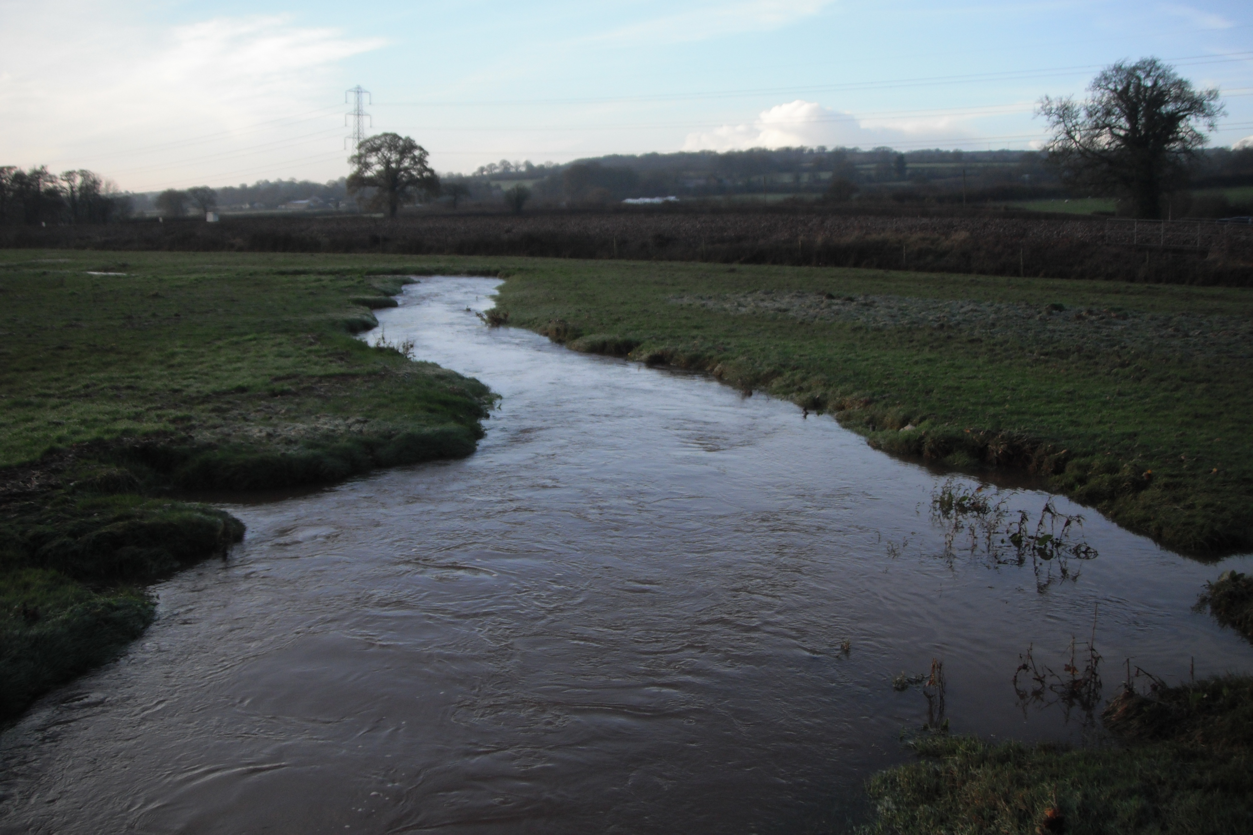 Tributary
adjacent to M5 during after storm event.
Tributary
adjacent to M5 during after storm event.
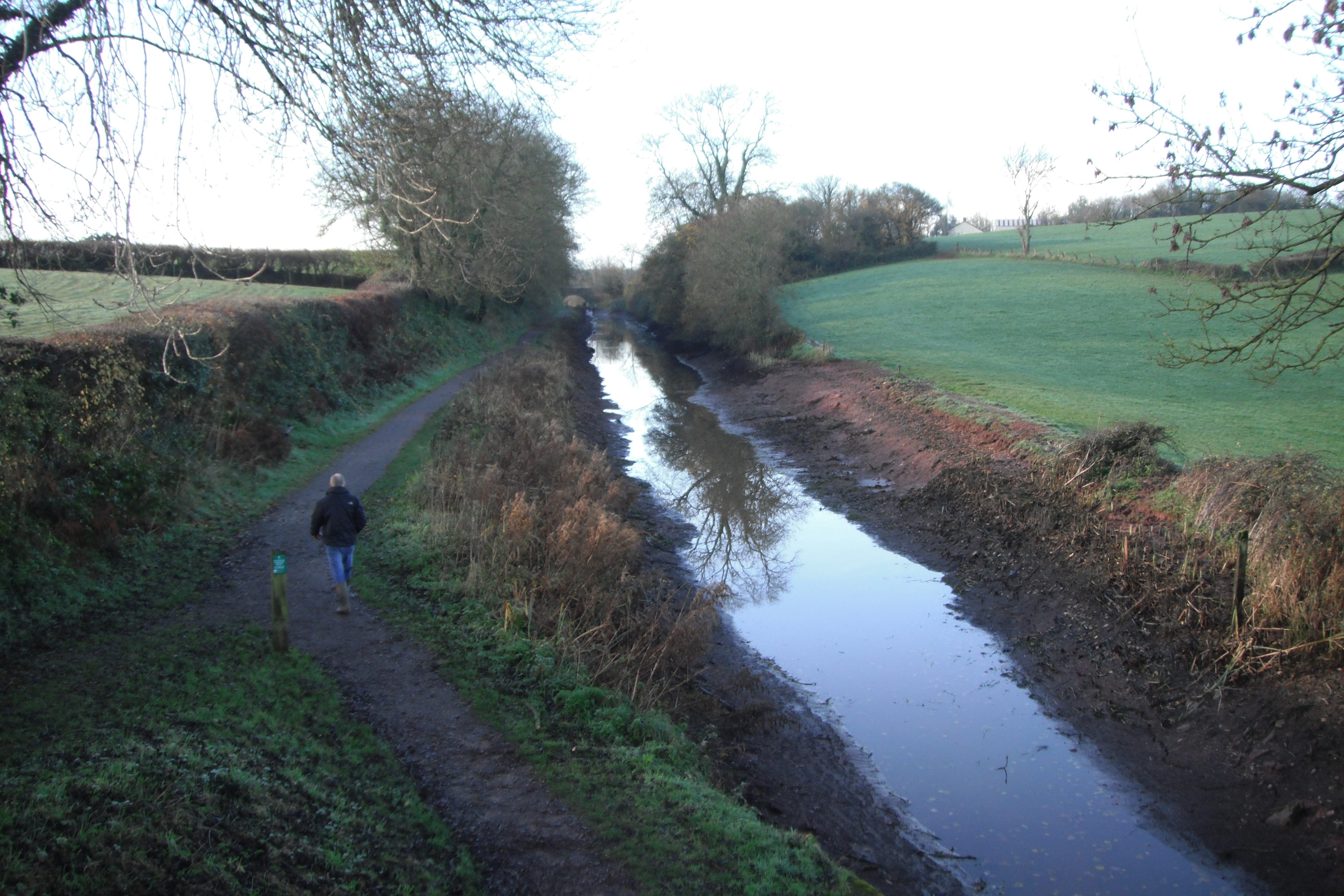 The
Grand Western Canal drained after breach.
The
Grand Western Canal drained after breach.
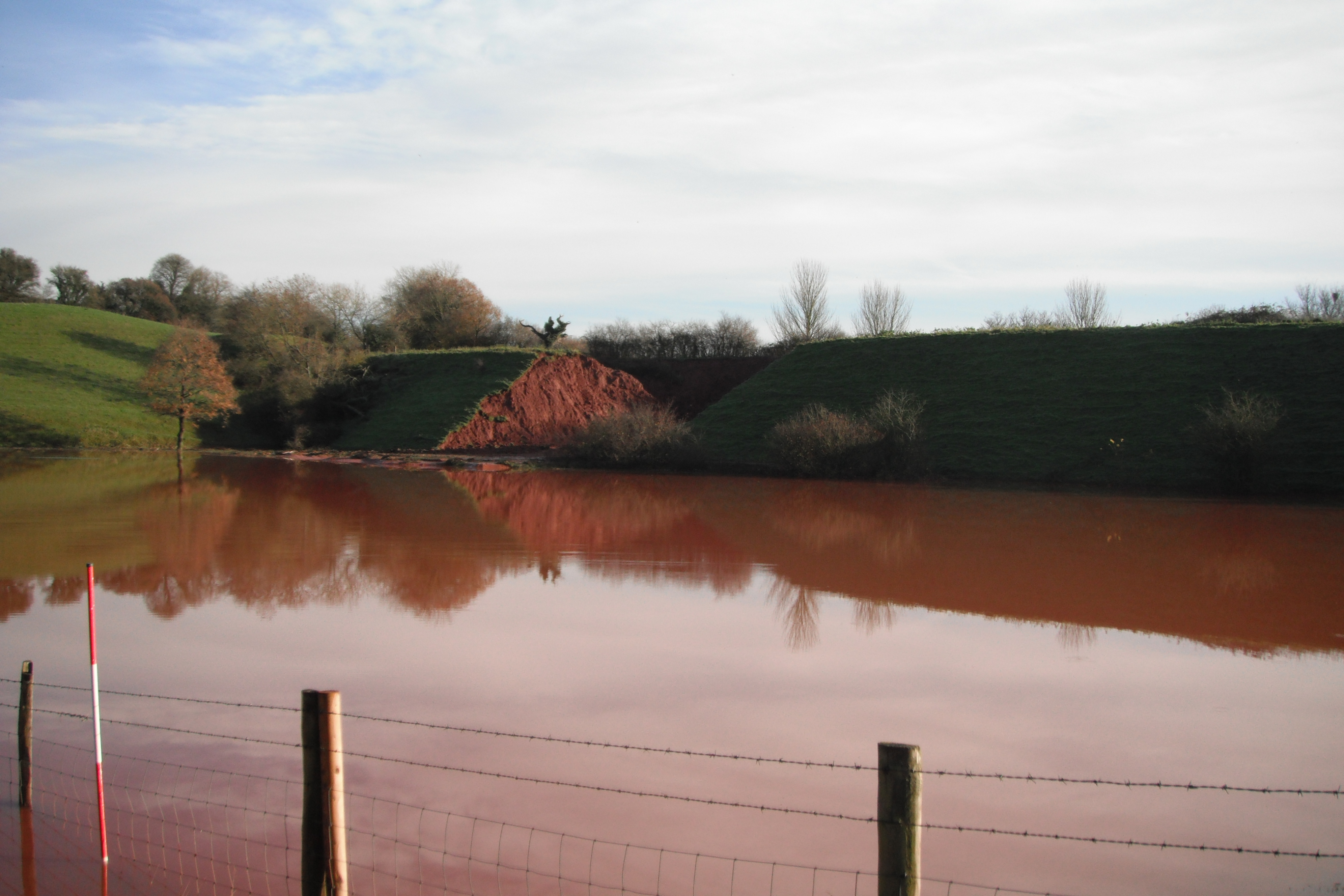
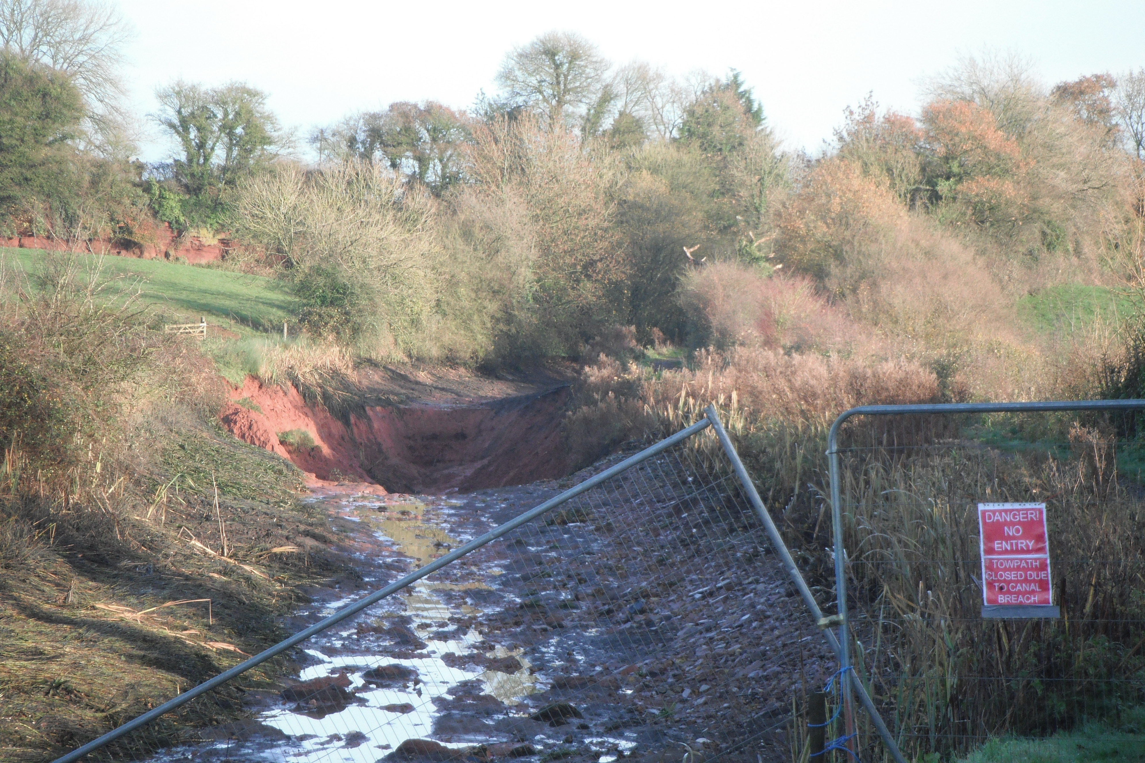
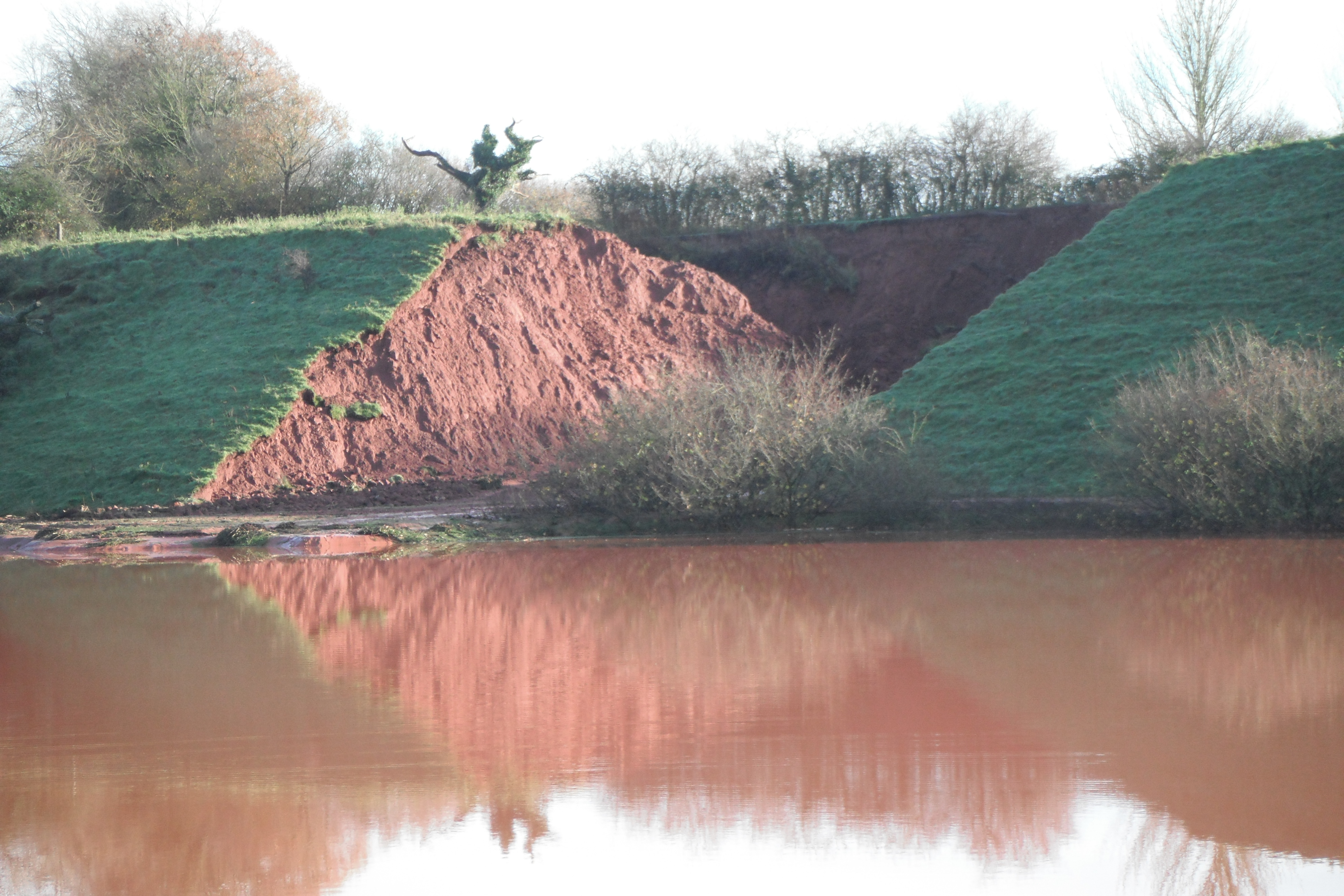 The
embankment that failed leading to breach of the Grand Western Canal
The
embankment that failed leading to breach of the Grand Western Canal
 Flooding
from the Grand Western Canal Breach
Flooding
from the Grand Western Canal Breach
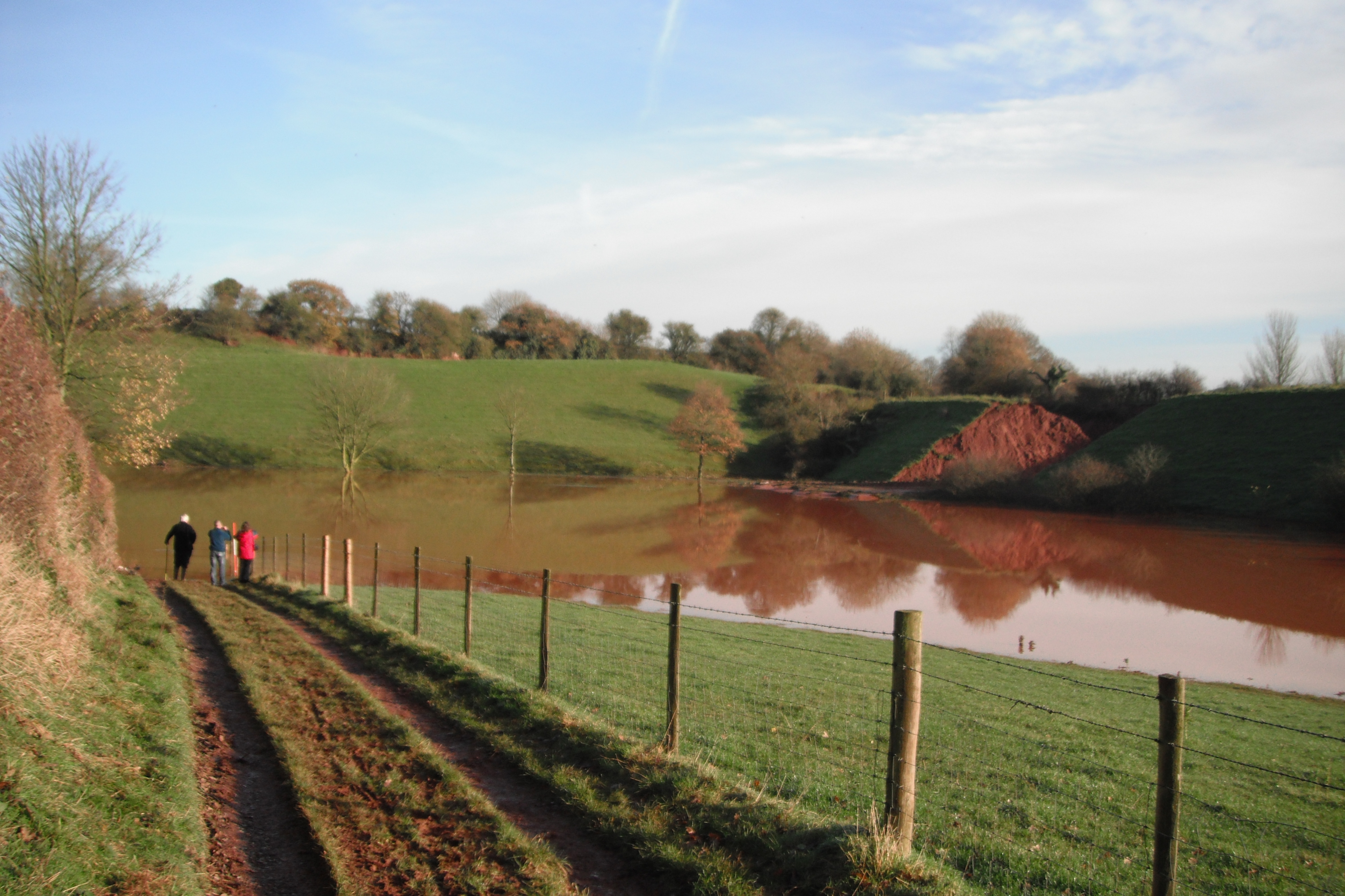 Flooding
from the Grand Western Canal Breach
Flooding
from the Grand Western Canal Breach
 The
Grand Western Canal near Exeter drained after Breach
The
Grand Western Canal near Exeter drained after Breach
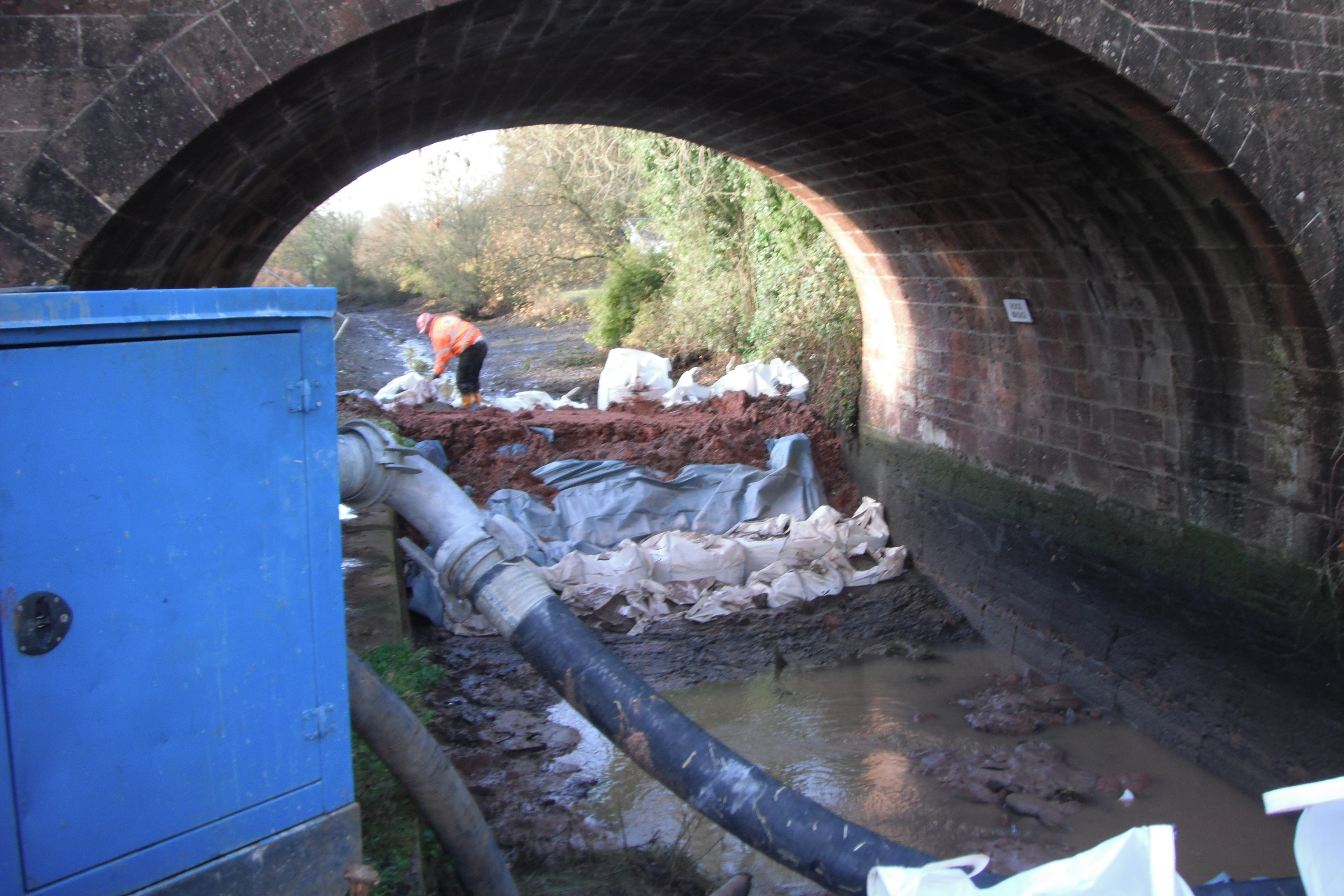 The
Temporary Dam used to seal off comprised section of Canal
The
Temporary Dam used to seal off comprised section of Canal
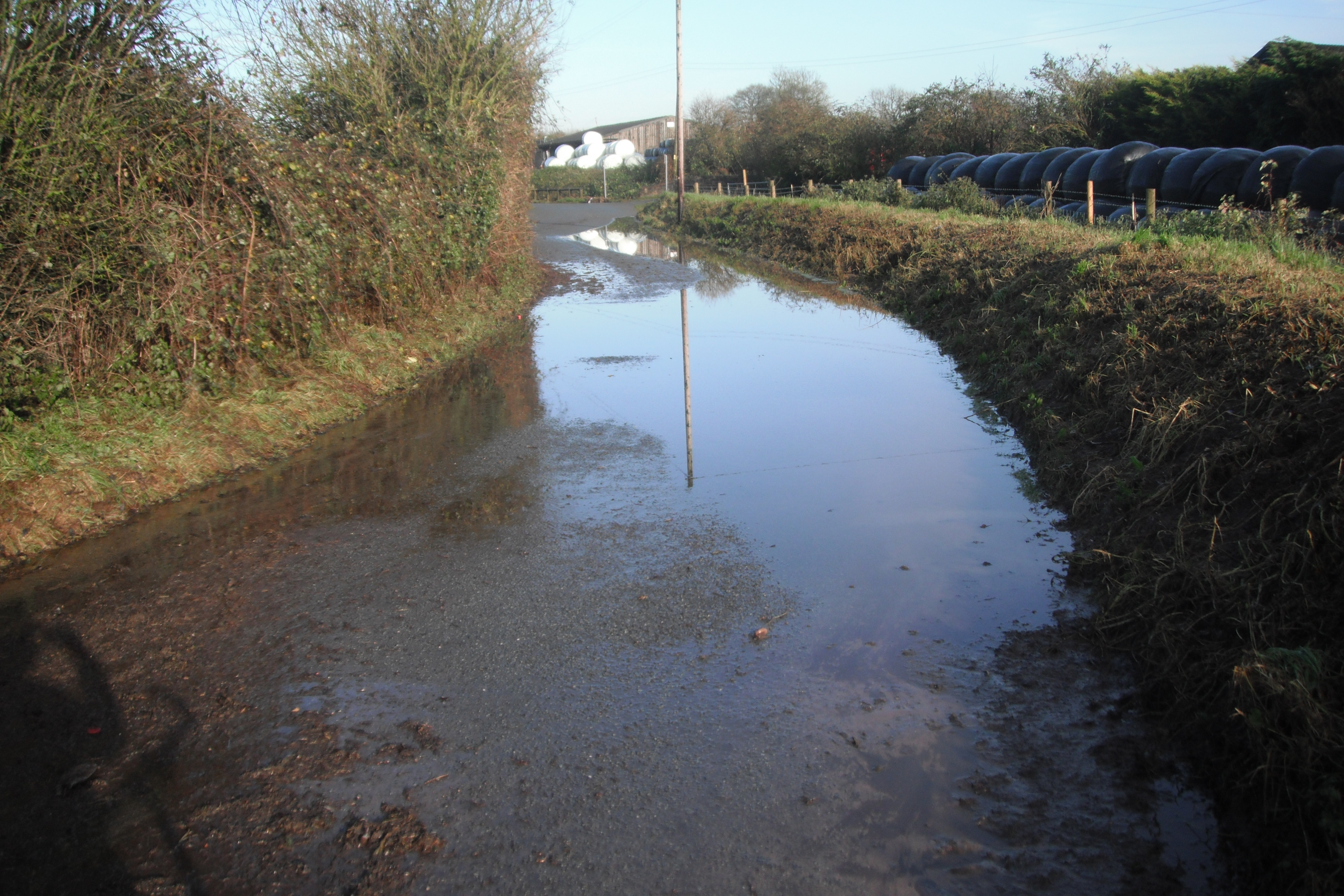 Flooding
on Road in Devon
Flooding
on Road in Devon
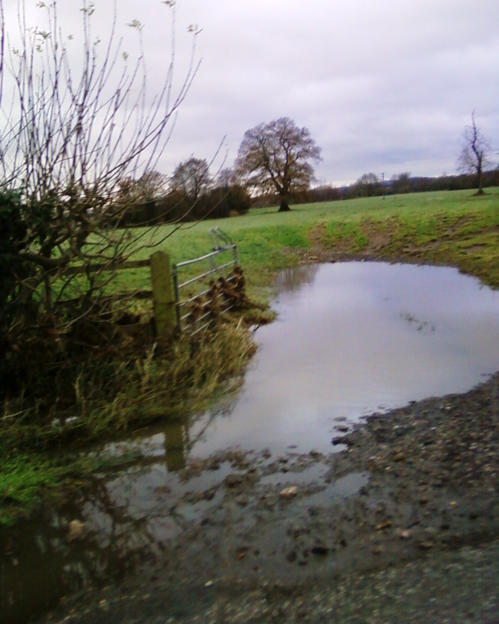
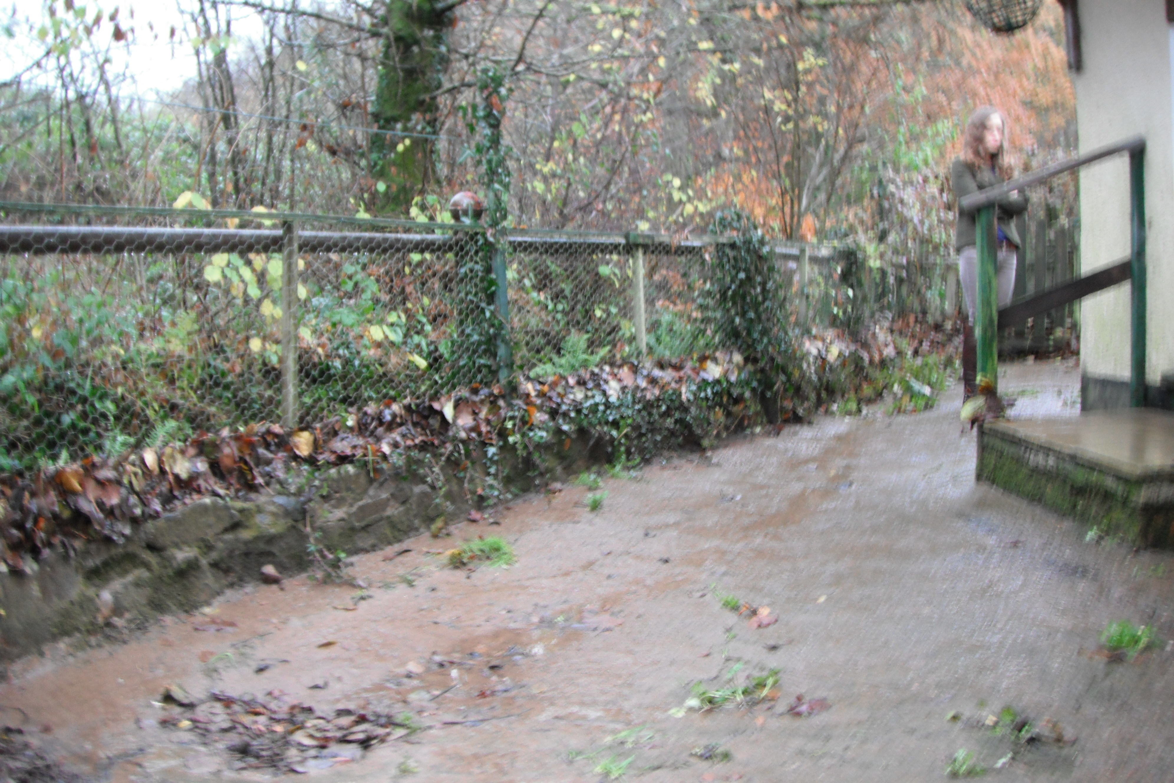 Leaves
stuck in fencing show height reached by flood water.
Leaves
stuck in fencing show height reached by flood water.
 Picture
of Culm Valley in Flood Day After Heavy Rain
Picture
of Culm Valley in Flood Day After Heavy Rain
 Picture
of Culm Valley Day After Heavy Rain
Picture
of Culm Valley Day After Heavy Rain
 Picture
of Culm Valley Day After Heavy Rain
Picture
of Culm Valley Day After Heavy Rain
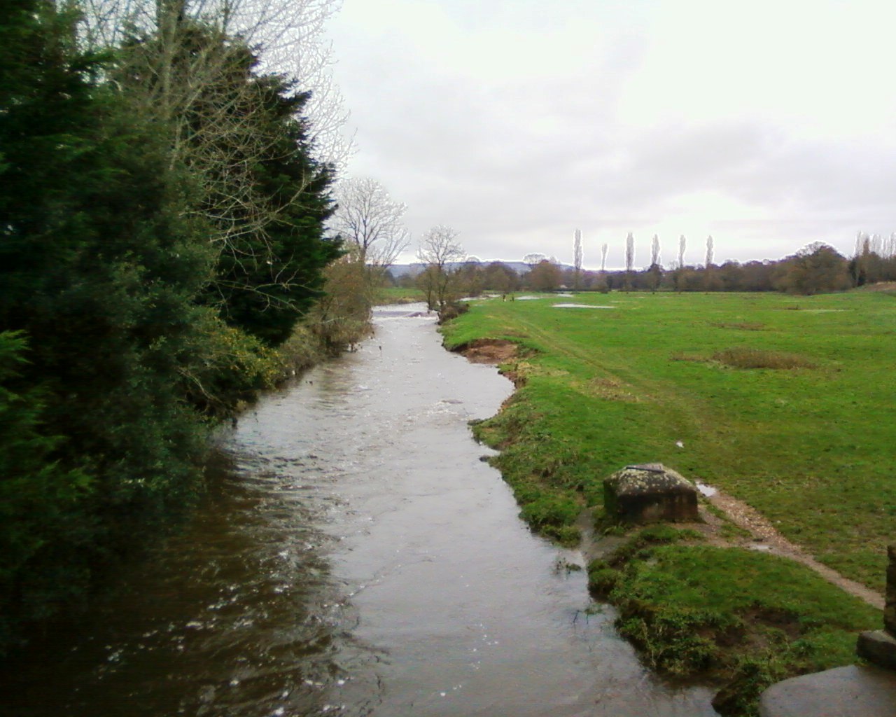 River
Culm. Note Sandy deposits on foot path left behind by receding flood waters.
River
Culm. Note Sandy deposits on foot path left behind by receding flood waters.
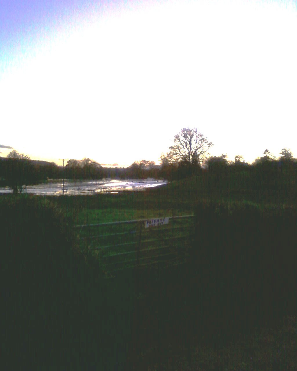
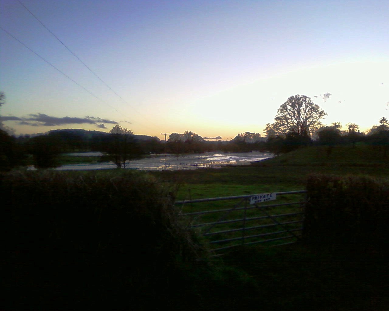
 Gates
in to field on flood plain that have been forced open by flood water.
Gates
in to field on flood plain that have been forced open by flood water.
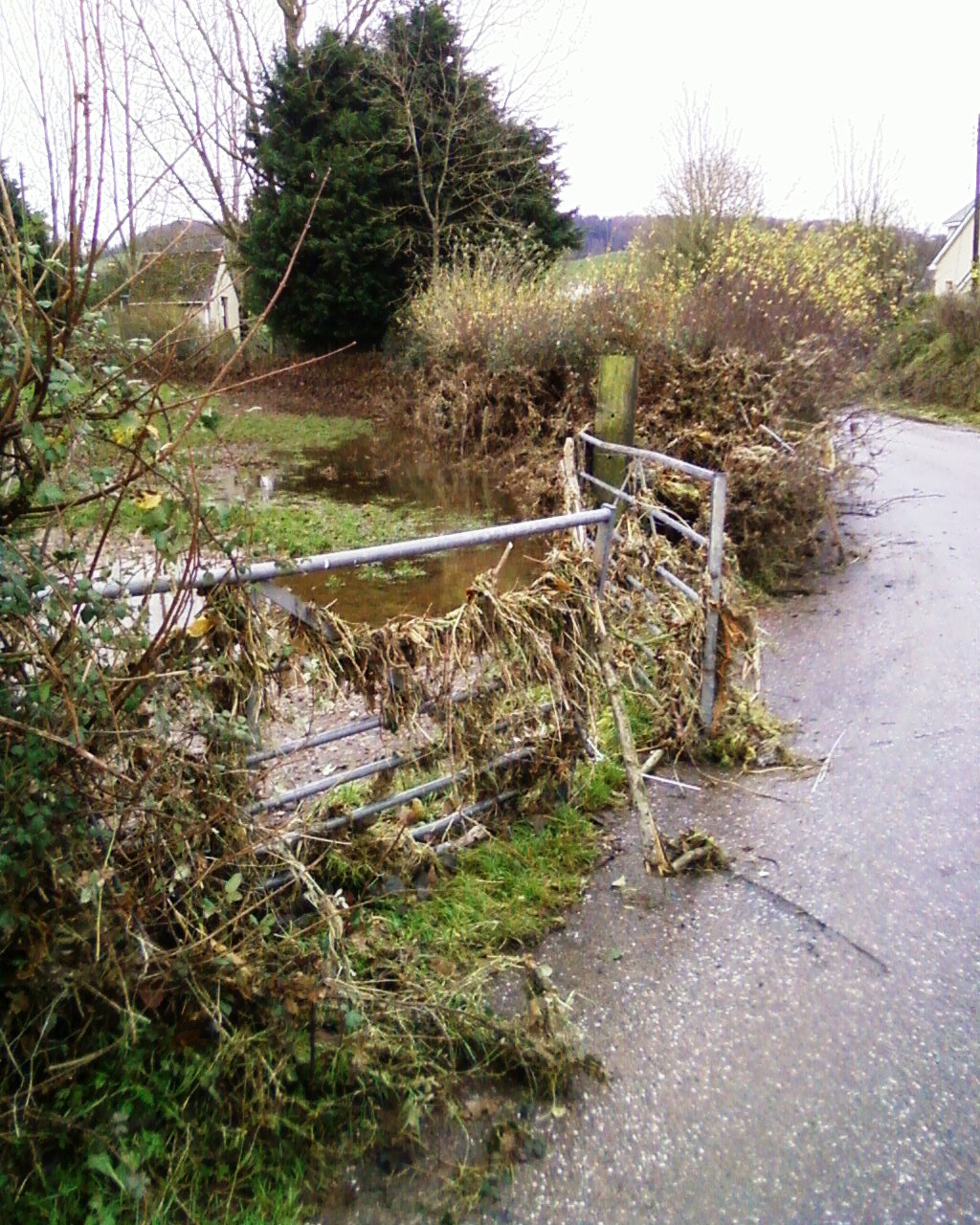 Gates
in to field on flood plain that have been forced open by flood water.
Gates
in to field on flood plain that have been forced open by flood water.
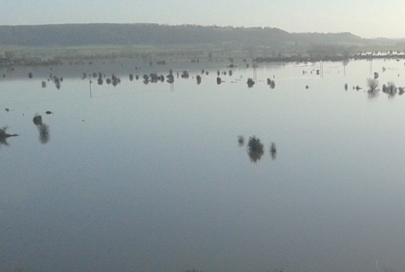 Flooding on Somerset Levels
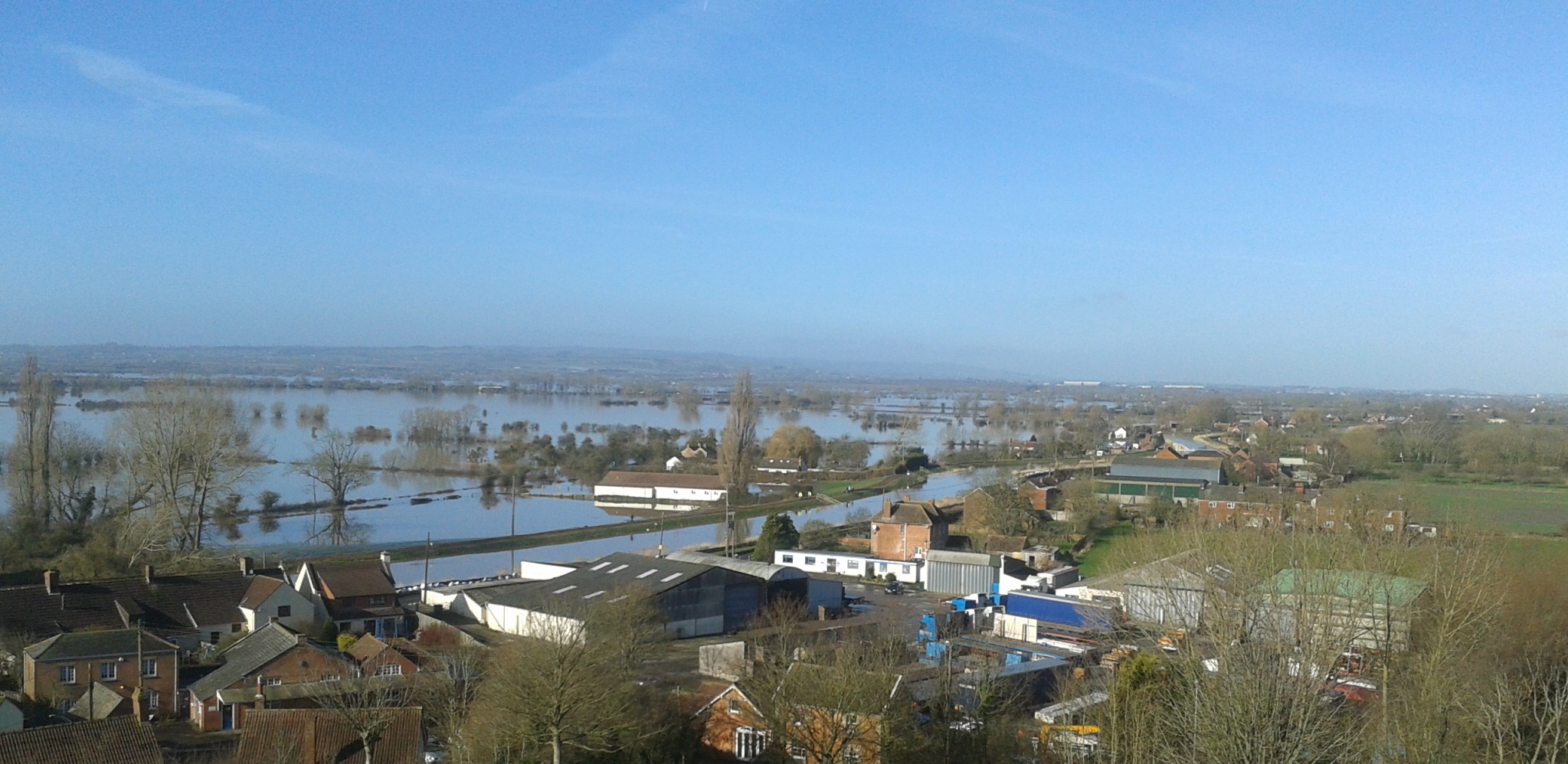 Flooding on Somerset Levels
 Flooding on Somerset Levels
 Flooding on Somerset Levels - King Alfred Pub
A Collection of Photos from Dorset During Flooding Event
.JPG)
.JPG)
.JPG)
.JPG)
.JPG)
.JPG)
.JPG)
.JPG)
.JPG)
.JPG)
.JPG)
.JPG)
.JPG)
.JPG)
.JPG)
.JPG)
.JPG)
.JPG)
.JPG)
.JPG)
.JPG)
.JPG)
.JPG)
.JPG)
.JPG)
.JPG)
.JPG)
.JPG)
.JPG)
.JPG)
.JPG)
.JPG)
.JPG)
.JPG)
.JPG)
.JPG)
.JPG)
.JPG)
.JPG)
.JPG)
The below section was written by a machine.
Our flood risk photo gallery serves as a technical resource, demonstrating the critical role that visual site evidence plays in a robust Flood Risk Assessment (FRA). While desktop data from the Environment Agency provides a baseline, high-resolution site photography allows our consultants to identify micro-topography and local drainage nuances that are often omitted from national-scale flood maps.
Capturing site-specific constraints is essential for the design of effective Sustainable Drainage Systems (SuDS). Visual documentation helps verify:
When justifying a development under the Sequential Test, photographic evidence provides planning officers with the clarity needed to understand site levels relative to flood zones. By combining site imagery with detailed flood zone modelling, we provide a comprehensive evidence base that supports planning applications in sensitive catchments. This visual transparency is a hallmark of the 900+ projects SWEL has delivered across the UK, ensuring that both developers and regulators have a clear understanding of environmental constraints.
Site walkovers for flood risk often coincide with other technical assessments. The features documented in this gallery frequently overlap with Ecology Surveys and Environmental Impact Assessments (EIA), particularly where proposed flood mitigation measures (such as attenuation ponds) can provide co-benefits for biodiversity. Our team ensures that visual site data is integrated across all disciplines to provide a streamlined route to planning consent.